
How to add DJI flight data (altitude, distance, route) to drone video
Turn on Video Subtitles in the DJI Fly app (called Video Caption in DJI GO 4) before you fly. Each video then gets a .SRT file with the drone's GPS position and altitude. Keep it next to the MP4 and open the video in Telemetry Studio: it finds the .SRT on its own and adds altitude, vertical speed, distance from home, flight time and the flight path. No syncing needed.
Drone support is in beta. It runs on Mac and Windows, with a 14-day free trial.
01Turn on Video Subtitles before you fly
The flight data only exists if the drone wrote it while recording, so set this up before the flight.
- DJI Fly (Mini, Air, Mavic 3, Avata, Neo): switch to video mode, open settings, go to the Camera tab and turn on Video Subtitles.
- DJI GO 4 (Mavic Pro, Mavic 2, Phantom 4): camera settings, turn on Video Caption.
02Copy the video and its .SRT file together
Copy both files from the drone's card, for example DJI_0001.MP4 and DJI_0001.SRT, into the same folder. Keep the names matching.
03Open the video in Telemetry Studio
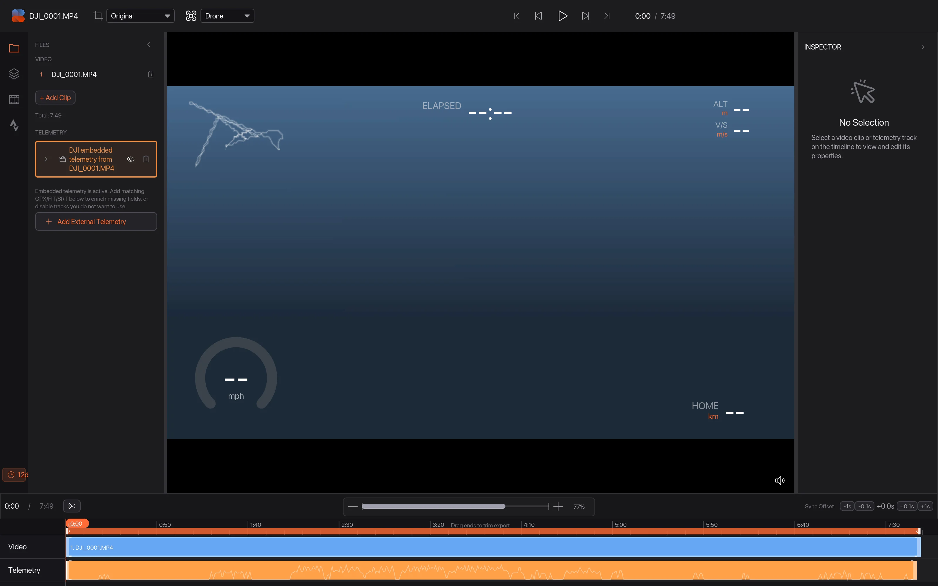
Open the MP4 in Telemetry Studio. It picks up the .SRT next to it, lists it as DJI embedded telemetry, sets the sport to Drone and applies the Drone Telemetry layout. The data comes from the same recording, so it's already in sync.
04Choose the flight overlays
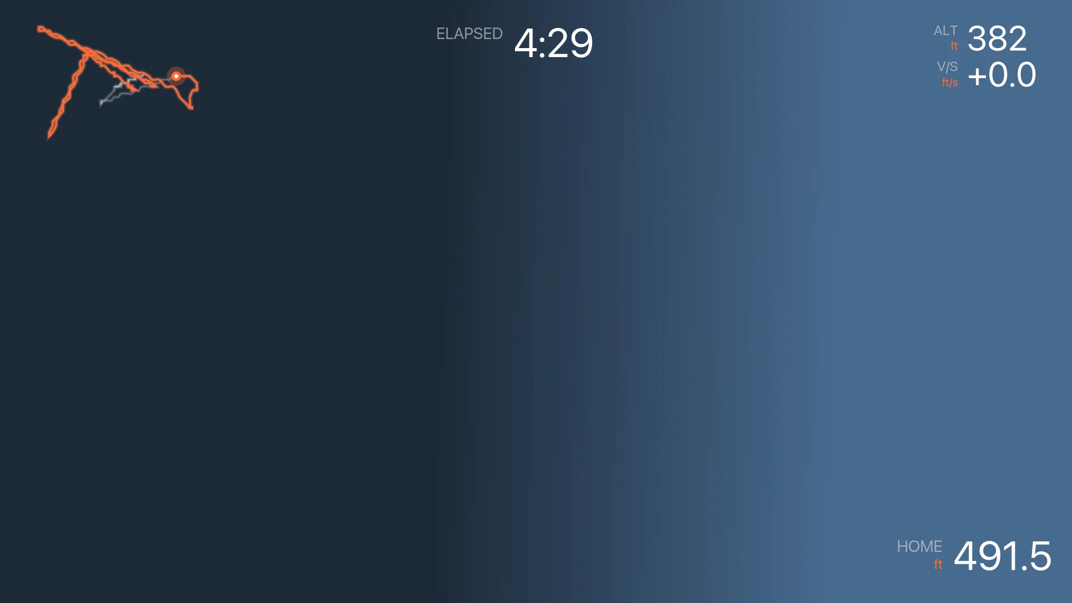
The drone overlays:
- Altitude and vertical speed (climb and descent rate).
- Distance from home, measured from the first GPS point.
- Flight path map and flight time.
- When the .SRT has them: forward and sideways speed relative to the camera, an attitude indicator, and aircraft and gimbal pitch, roll and yaw.
05Export
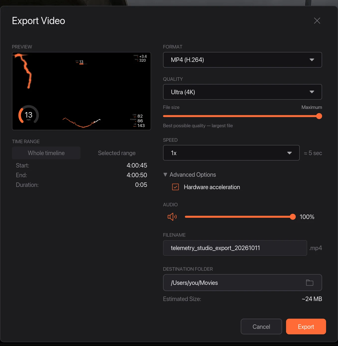
Choose File › Export Video…. MP4 up to 4K, 9:16 for Reels and Shorts, or only the overlays on a transparent background (ProRes 4444 or PNG frames) to put on top of your edit.
If something looks wrong
- No .SRT file on the card: Video Subtitles was off for that flight. There's no way to add it afterwards from the drone, but a GPX of the flight works.
- Overlays show dashes: that model doesn't record the value (several newer DJI models leave out speed and angles). Turn those overlays off.
Other options
DashWare was the old free choice for drone overlays, but it was discontinued (see DashWare alternatives). Telemetry Overlay also reads DJI .SRT files, plus Airdata and Litchi flight logs (comparison). Airdata itself analyses flights but doesn't put the data on your video.
More guides
- Garmin VIRB Edit alternative: what to use in 2026
- Telemetry Studio vs Telemetry Overlay: an honest comparison
- DashWare alternative: data overlays for your video in 2026
- How to add Garmin data to GoPro video (speed, power, heart rate)
- How to add a telemetry overlay to Insta360 360 video
- How to add pace and heart rate to your running video
- How to add lap times, speed and g-force to track day video
- Telemetry Studio vs RaceRender: an honest comparison
- How to add speed and altitude to ski and snowboard video
- All guides and comparisons
- Frequently asked questions